

(1/7/2018 – 7/7/2018)
From the Beach to the Bush!!! We left Exmouth early on Sunday morning and headed east inland towards Karijini National Park which is part of the Pilbara Region. This was another big driving day of around 5 or so hours stopping at Nanutarra Roadhouse for lunch and then onto Beasley River Rest Area for a free overnight camp.
We were up early in the morning as we still had a few hours drive to Dales Campground in Karijini National Park. It’s a busy time of the year here and we couldn’t pre book so we wanted to arrive in the morning so we had a good chance of getting a spot which we did and set up camp for 3 nights. We had 3 days of sightseeing and hiking in Karijini.
There are so many spectacular gorges, waterfalls, rock pools and lookouts. This is another area where we could have stayed a bit longer to explore. There are a variety of walks/hikes throughout Karijini with trail classifications from Class 2 (easy) to Class 5 (difficult).
Karijini National Park is the 2nd largest national park in WA covering over 625,000 hectares. Karijini is made up of 7 stunning gorges:- Dales, Joffre, Knox, Hancock, Weano, Kalamina and Hamersley.
From the Dales Gorge day area, we explored Fortescue Falls, Circular Pool and Fern Pool. Dales Gorge Campground was a great place from which we could discover the eastern end of the National Park.


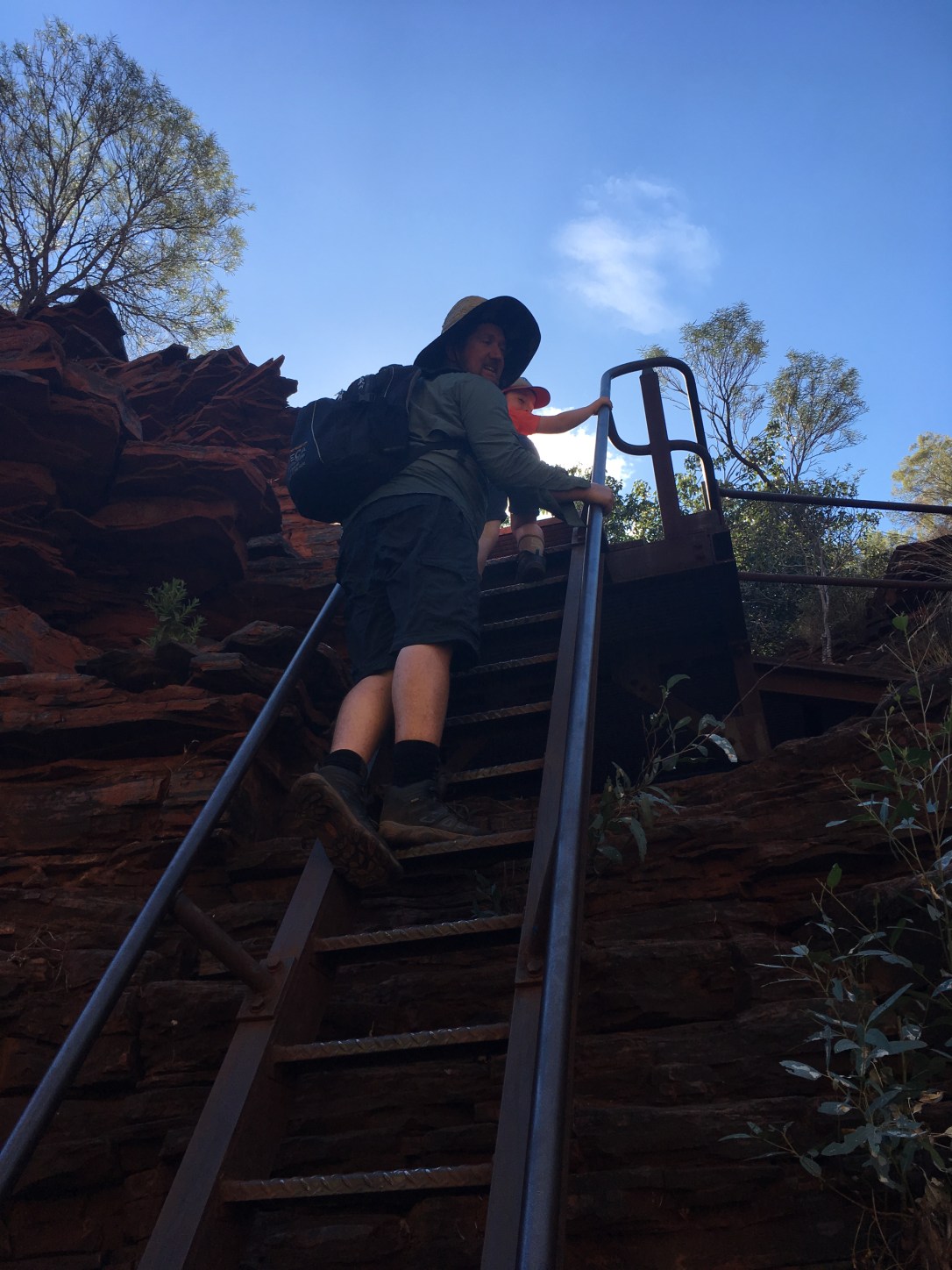
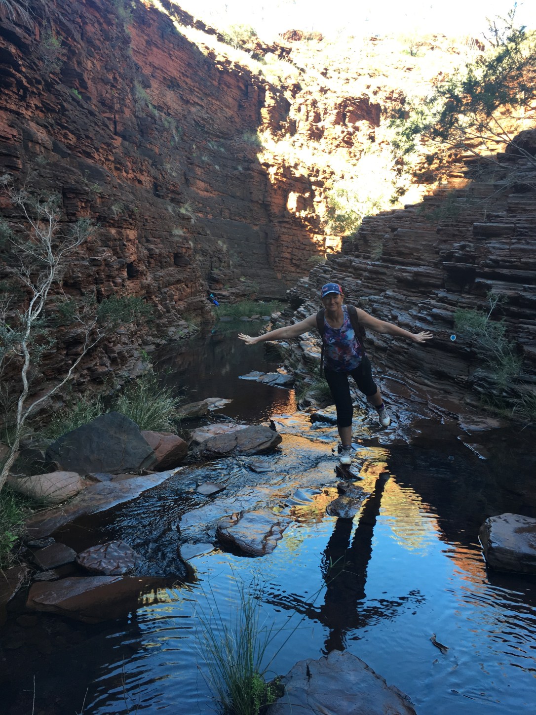
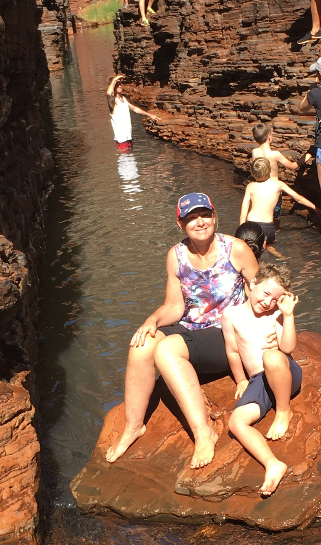
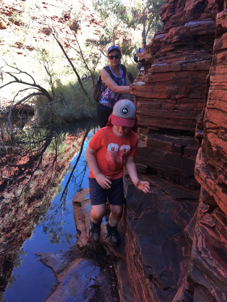
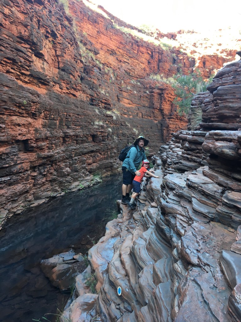
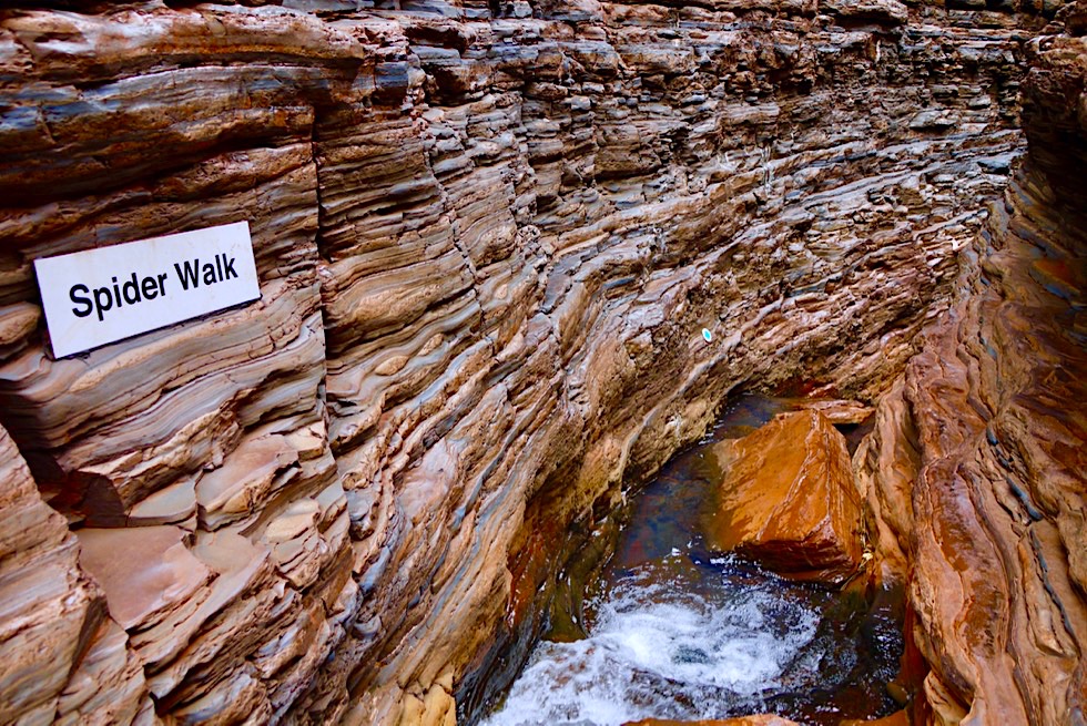
The following day we drove over to Weano Gorge day area where we hiked Hancock Gorge which included the Spider Walk, Amphitheatre and Kermit’s Pool. Hancock Gorge was a Class 5. It was very tough in some parts, descending down a ladder, scaling along narrow ledges, wading through very cold water, climbing up and down boulders. When you enter the Spider Walk you have to stretch your arms and legs out to straddle the gap and move along the walls. Then you reach Kermit’s Pool which was beautiful but the water was too cold for me to swim in but Andrew and Mitch swam across to other side. After getting through that, it’s only a matter of metres before coming to a roped off section, the end of the trail. Since we were advised that we were going to have to wade through water we took our hiking boots off earlier, but now I wish we had those water/reef shoes on rather than trying to climb through with bare feet as I found it quite slippery. Those water/reef shoes would have given more traction on the rocks!!


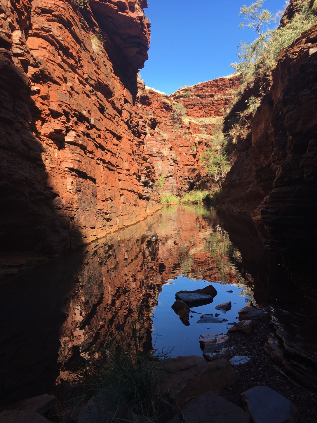


Amphitheatre
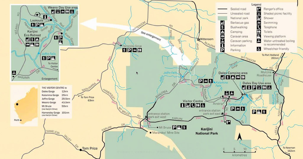
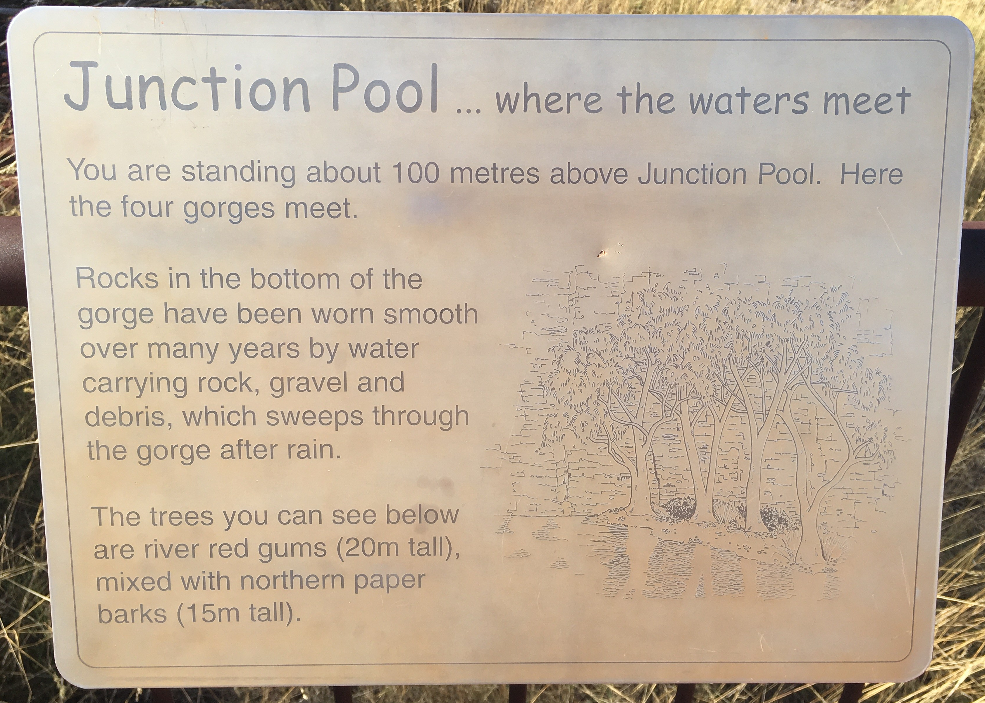
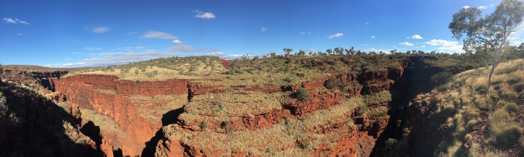
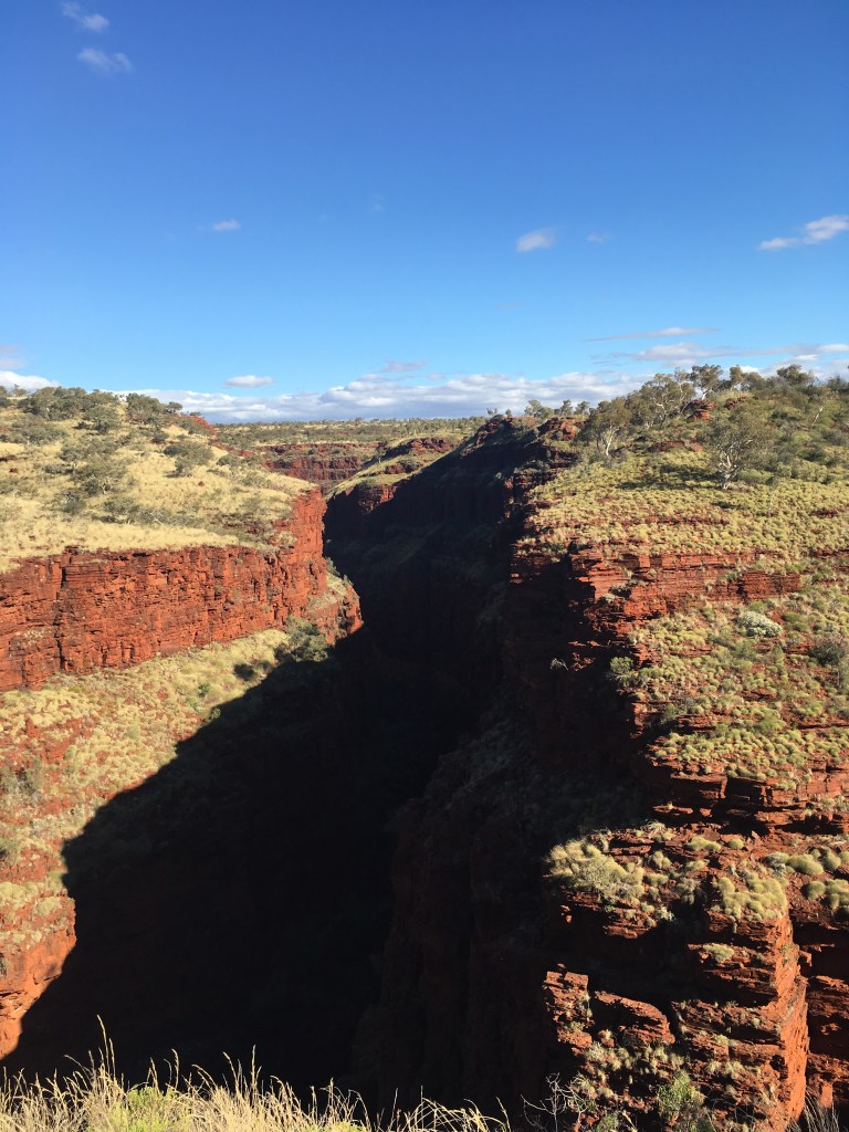
On the way out we stopped at the Junction Pool Lookout and the Oxer Lookout.


If we had more time there is so much more to explore in the Pilbara Region. Rio Tinto even have an open cut iron ore mine here (one of the world’s largest) and is located near the town of Tom Price (tours are available which will take you into the heart of the mine site operation – 1.5 hours).
On Thursday morning we packed up and made our way up to Port Hedland. Another long day on the road and we pulled up at Port Hedland Turf Club late in the afternoon and set up for 2 nights (free camp!!!!). It was pretty packed when we arrived so lucky to get a spot near some trees for shade!!
Port Hedland is one of the world’s largest and busiest working harbours filled with huge ships that transport hundreds of millions of tonnes of cargo each year. We had a drive around the area stopping to look at Pretty Pool (not a pool as such more like an inlet which is tidal) but it is the most popular swimming beach. Apparently there is also a nudist beach which is east of Pretty Pool and was approved by Port Hedland Council in August 2001.


")
Pretty Pool
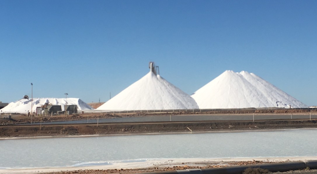
Dampier Salt has three salt operations located at Dampier, Port Hedland and Lake MacLeod and its head office is in Perth. The Port Hedland operation was acquired in 2001 and has a current production capacity of 3.2 million tonnes per annum.
On Saturday morning we packed up and continued north along the highway to Eighty Mile Beach.
(1/7/2018 – 7/7/2018)
